|
You
can call and speak with an actual
live person. USA SALES REGIONS DETAILED MAPS
United States COUNTY/CITY SERIES U.S. REGIONS SALES/MARKETING COUNTY/CITY WALL MAPS
Hardcopy WALL MAPS are
Download Maps on sale 50% off! Regular $19.95 only
$9.95 for any digital map! |
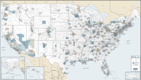
UNITED STATES COMMERCIAL
LAMINATED WALL MAP
DESIGNED FOR EXECUTIVE OFFICE
The most detailed wall map of USA!
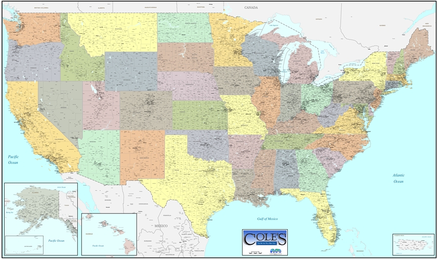
Wall Maps of the United States with Counties and towns
Impressive, attractive, sophisticated
AND highly functional, a large
United States wall map designed for professional sales office,
marketing headquarters, transportation/distribution or executive boardroom.
Choose
new exclusive pastel county tones in contrasting colors by state, industrial "greige",
white states, or even a business wall map of the United States, highly
detailed, on a beautiful topographic greens/browns -physical color background by
elevation in decorative earth tones, perfect business wall
map for conference room, logistics, market/sales planning and travel...
New choice of background coloring and map styles!
WE CAN PRINT YOUR COMPANY LOGO IN THE TITLE BLOCK, *NO EXTRA CHARGE*
just send email directly to
mapwench@gmail.com
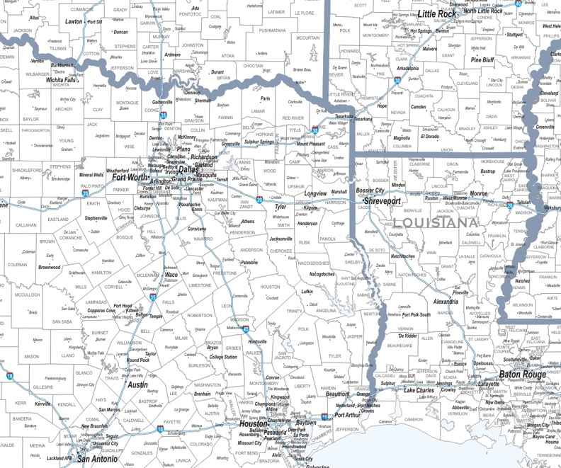
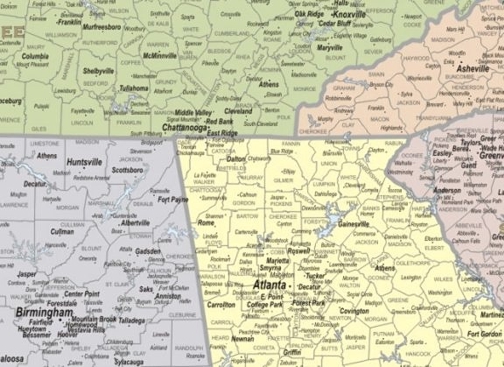
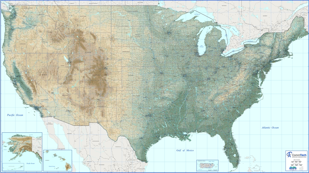
LARGE U.S.A. WALL MAP - 8 FT WIDE Laminated, very detailed showing Counties with names, Cites & towns, even towns under 2,500 population, Interstate, Federal & major State Highways, Major Parks, Rivers & Lakes, Showing inset of Puerto Rico, Alaska, Hawaii and adjacent portions of Mexico & Canada with their States, Provinces, Capitals & major cities- quite possibly the most detailed wall map available for the United States.
ALSO AVAILABLE
SUPER SIZE- 12x7
feet shipped rolled and laminated
PRINTED IN 3 SECTIONS, with
1" overlap on each piece for matching, to be assembled at your site. It
is best to mount directly to wall and trim in wood molding, if you want a framed
look for this
large map.