|
We are an Atlanta, GA
U.S.A. small business, you can call us and actually speak with a
live person
770-443-8808
U.S.A. REGIONAL
BUSINESS U.S.A. REGIONS COUNTY SERIES SALES/MARKETING WALL MAPS
LARGE UNITED
STATES MAP
U.S.A. COUNTY
OUTLINE
Hardcopy WALL MAPS are
Download Maps on sale 50% off! Regular
$19.95 only $9.95 for any digital map! |
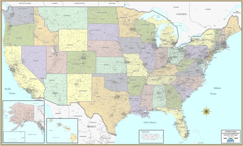
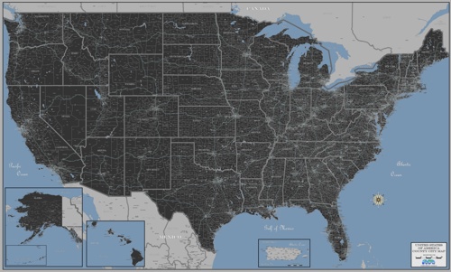
UNITED STATES LARGE COMMERCIAL WALL
MAP LAMINATED
The most
detailed business wall map of the United States!
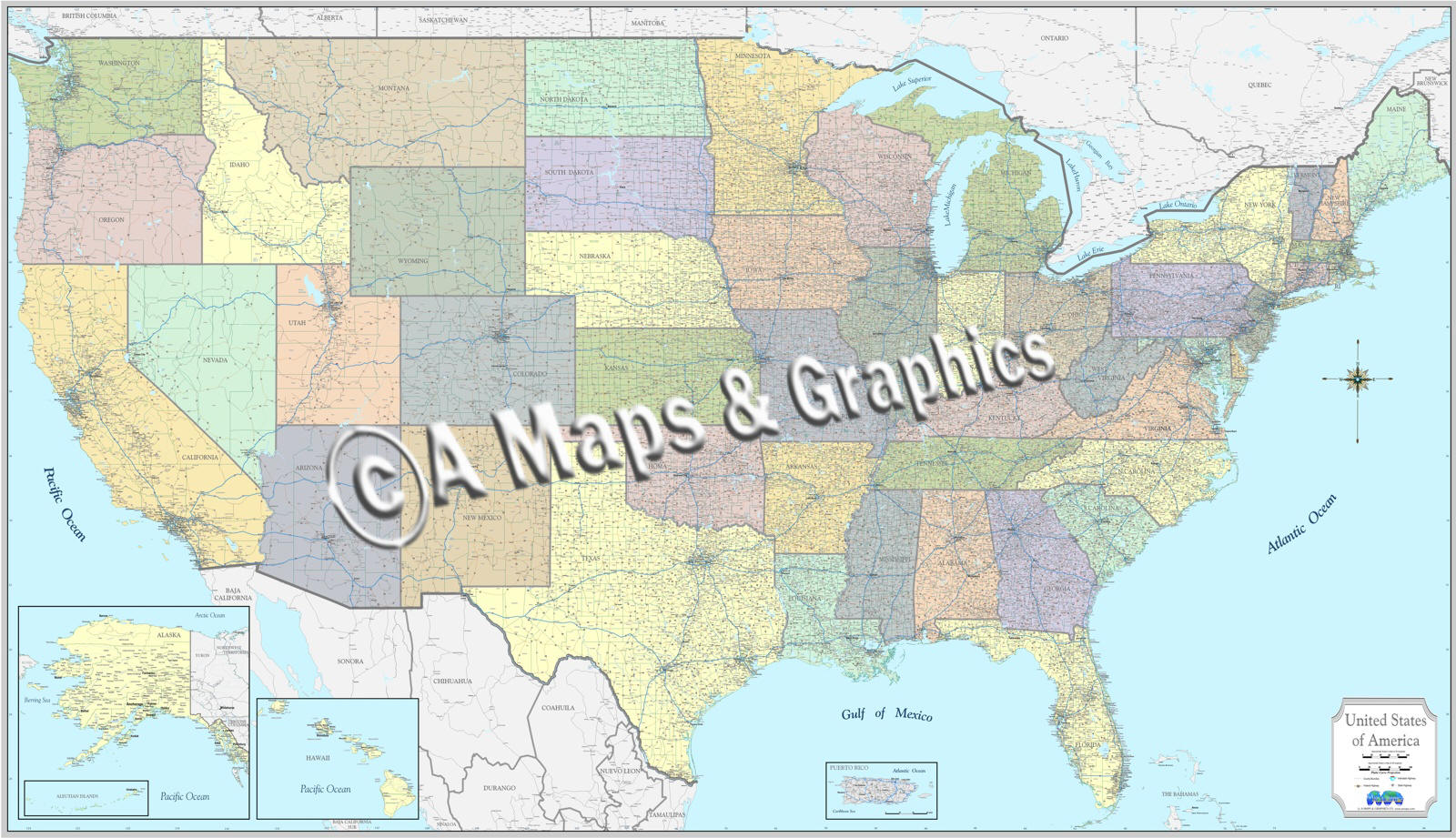
United
States wall maps designed for business office
Sales and marketing, general reference and decor.
Attractive, laminated, with counties, cities and towns
 |
 |
 |
 |
 |
 |
 |
 |
 |
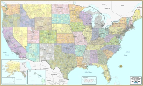
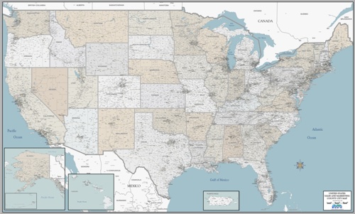
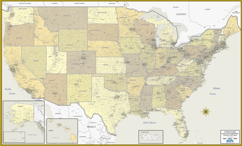
Sales & Marketing Wall maps
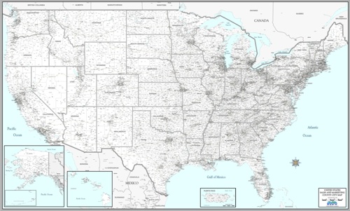
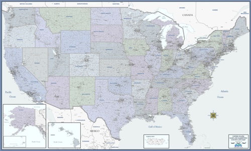
The "Cleartype" maps
have been used by business for decades to define sales
territories, regional management, branch or franchise locations, and in
demographic studies for market research.
Clearly shows cities and
towns, county lines/names, without highway
clutter. See the big picture!
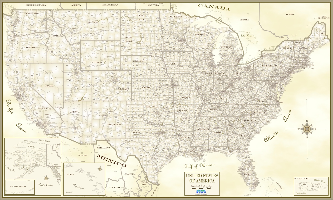
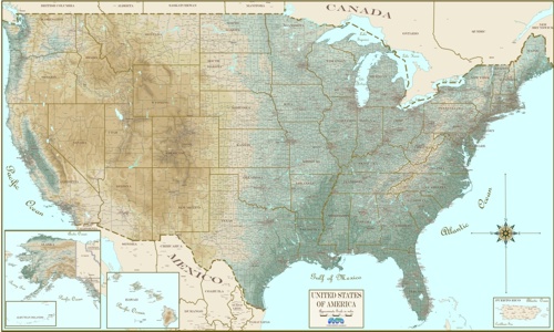
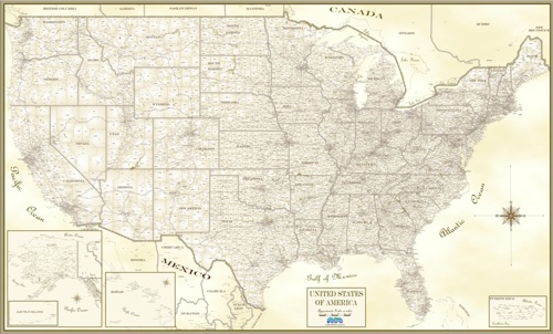
NEW maps as art! Same County city detail
in decorative Antique
style!