|
We are an
Atlanta, GA U.S.A. small business, you can call us and speak to a
live
person U.S.A. REGIONAL BUSINESS MAPS DETAILED U.S.A. REGIONS CITY COUNTY MAPS LARGE UNITED STATES MAP The most detailed USA wall map!
U.S.A.
COUNTY LINES Hardcopy WALL MAPS important tools for business
Download Maps on sale
40% off! |
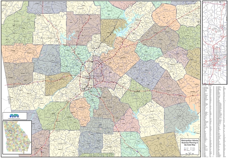
Wall Map with ZIP Codes Metro Atlanta, GA
Regional Business Planning
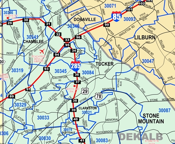
Need to take up less wall space with a little less area coverage?
We also have a more compact Atlanta region wall map...
MEDIUM-SIZED ATLANTA REGION WALL MAP-
54x35"
SOME ATLANTA & GEORGIA PUBLIC INFORMATION LINKS...
City of Atlanta official web sitehttp://www.atlantaga.gov/how-do-i
http://www.atlantaga.gov/residents/city-directory
Atlanta Regional Commission web site - http://www.atlantaregional.net/
For transportation and traffic information
http://www.ajc.com/traffic/
http://www.wsbtv.com/traffic
State Dept of Transportation Web site http://www.dot.state.ga.us
Large professional laminated wall map showing highways, major streets, counties, cities,
interstates with exit numbers, major points of interest and water features,
plus ZIP codes with
boundaries. This Metropolitan Atlanta region business planning map includes
almost all entire counties of the MSA-Standard Metropolitan Statistical Area, plus
portions of 16 more surrounding counties.
Insets maps for Downtown, Midtown, Buckhead, State of Georgia with counties
and major cities, and an index reference by city-county-zip code. Choice of multi-color by county, white
background, or new contrasting neutral greige colors by county.