|
We are an
Atlanta, GA U.S.A. small business, you can call us and speak to a
live
person U.S.A. REGIONAL BUSINESS MAPS DETAILED U.S.A. REGIONS CITY COUNTY MAPS LARGE UNITED STATES MAP The most detailed USA wall map!
U.S.A.
COUNTY LINES Hardcopy WALL MAPS important tools for business
Download Maps on sale
40% off! |
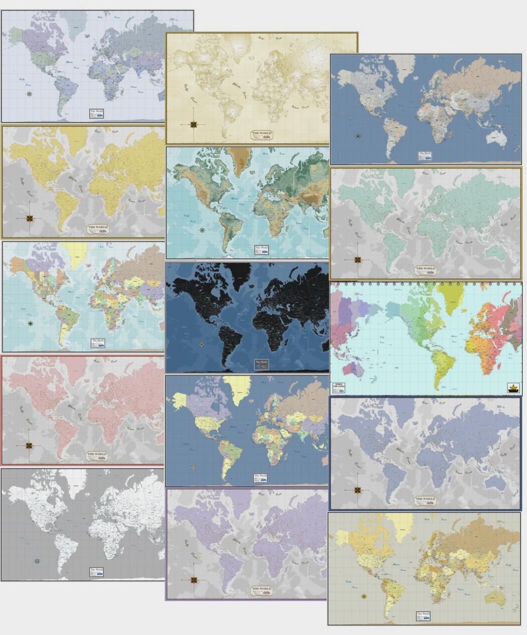
World Wall Maps
Countries, Major Cities, Capitols, Physical
features
MAPS as ART
- Designer color schemes + Geo-political reference = Informative Decor!
 Gabelli
Wall Maps
Gabelli
Wall Maps
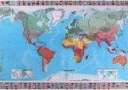
Montiscolour and Country
Color Unique interesting
coloring & cartography
from French publisher, in Political or Topographic.
Individual Continents also available
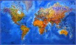
 Michelin
Wall Map of the World
Michelin
Wall Map of the World
54x39" brightly colored
countries, shaded topographic,
city detail, with country flags, laminated $39.95
Has matching USA wall map
"One World" beautiful poster showing 3-global views of Earth
on one large print by Raven Maps "63x35"
Physical features & major cities shown, no Countries.
Paper....$60.00
Laminated......$100.00
Time Zones of the World
The most interesting timepiece you
will ever see
The Geochron World Time Indicator - analog electronic clock-map...
The Geochron demonstrates precisely where the sun is rising and setting every minute of the
day. It's face is a Mercator map of the world, illuminated to simulate the suns light as it is cast on the planet. The map
scrolls left to right at a speed of 1" per hour - complete in 24 hours. The light pattern changes slightly day to day to
progress through the seasons. The time of day (or night) is indicated on the time scale. Calibrations are at 5 minute
intervals and more precise calculations can be made on an optional minute dial.