Click to view map store main page A Maps & Graphics Company  maps that mean business since 1985

         OFFICE WALL MAPS MAP DOWNLOADS CUSTOM MAPS ABOUT/CONTACT
 

You can call us and speak with a live person!  
770-443-8808
M-F  9:00am-6:00pm EST USA
To verify or place an order call or
email us.  If you need a quote on a custom map, just send us your specs and we will get back to you with a quote and sample images.

LARGE UNITED STATES MAPS
The most detailed USA wall map

REGIONS OF USA DETAILED MAPS

United States COUNTY/CITY SERIES
MARKET MAPS

U.S. REGIONS SALES/MARKETING COUNTY/CITY WALL MAPS

ATLANTA & GA AREA WALL MAPS

Hardcopy WALL MAPS are
STILL important for business

WORLD WALL MAPS

CUSTOM MAP DESIGN

BUSINESS WALL MAPS

STATE WALL MAPS

Digital map images

Download Maps on sale 50% off! Regular $19.95  only $9.95  for any digital map!
Choose from  styles / choice of colors for printable maps that make  professional reports and  presentations. High resolution map images for
United States
USA Regions
all US States
Continents
World
Countries
Digital image files of white or color maps for business  presentations, projector screen, added to your company website, printing in a brochure or annual report, for study, school or home classroom. Colorful maps also make useful and attractive home, home office and  office  decor.

We are still adding more maps, so if you need any area that has not been added to our new website, please contact us and we can email it to you.

ZIP CODE MAPS

WORLD REGIONS

MAPS TO PRINT/ DOWNLOAD MAP, World Digital Image, choose style coloring
download a hi-res global map graphic file to use in desktop presentations, on web sites, print from your PC

*Teachers! The free outline maps are great for classroom activities!

Download Antique parchment color World Map
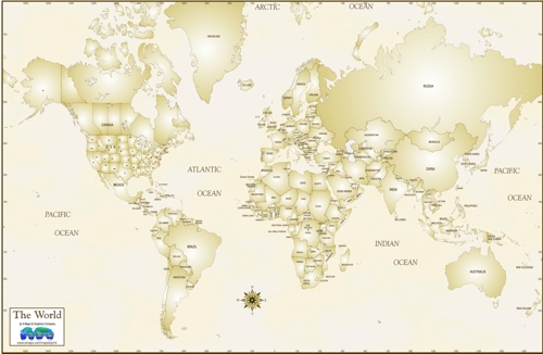
MAP OF WORLD - ANTIQUE STYLE COUNTRIES Parchment Color background
World Map download digital image file-White/Blue
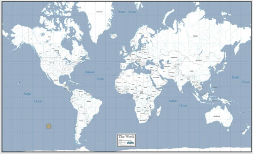
DOWNLOAD WORLD MAP MINIMAL TEXT
Grey blue Oceans,with major Rivers
World Map download digital image file-Topographic
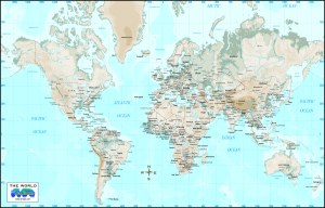
WORLD TOPOGRAPHIC MAP/Greens browns by elevation with Countries, major cities
World Map download digital image file-Countries Color
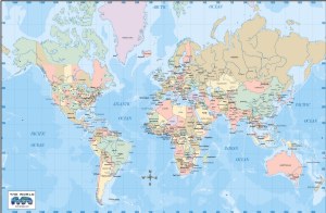
WORLD MAP COLOR, Countries, States & Provinces, Major Cites

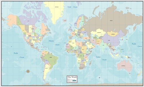
DOWNLOAD POLITICAL COLOR WORLD MAP with countries, states, provinces

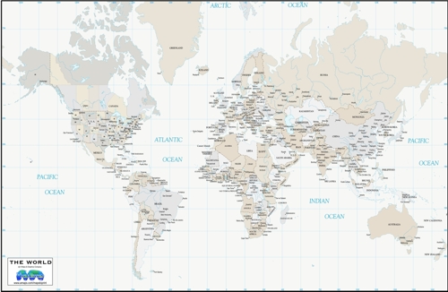
"GREIGE" NEUTRAL BACKGROUND WORLD MAP Download with countries and cities
World Map download digital image-White Countries, cities, ocean depths
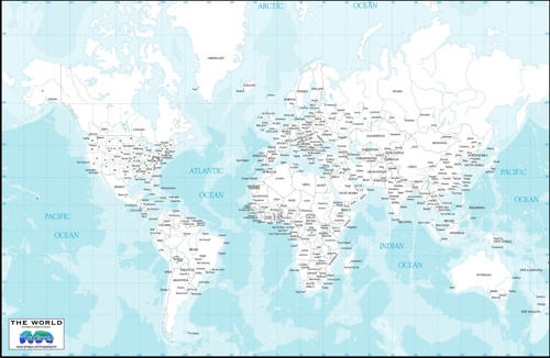
POLITICAL WORLD MAP IN WHITE
with Generalized Ocean Floor topography
Download outline world map free!
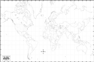
WORLD OUTLINE MAP  *FREE DOWNLOAD
Colorful maps also make useful and attractive home, home office and office decor.

ALL OF OUR DIGITAL MAPS ARE ALSO AVAILABLE AS QUALITY COLOR PRINTS, MOUNTED PIN-BOARD, LAMINATED & FRAMED IN YOUR CHOICE OF MOLDING. We can also print your company logo in the legend/title block of your framed map at no charge. These beautiful maps make a unique and useful promotional gift for clients that keep your company's brand in view long term.
Call for details, pricing to include crating and shipping.  770-443-8808  or email

NFT "Notoriously Fabulous Topography" - without the minting or ETH gas fees ; )

WE HAVE MORE DETAILED, LARGE LAMINATED WALL MAPS

WE CAN CREATE A CUSTOM MAP TO COVER YOUR SPECIFIC REGION


Privacy policy
Intellectual Property
Terms and Conditions
About/Contact

Maps and website content   copyright A Maps & Graphics Company   online since 1995