|
We are an
Atlanta, GA U.S.A. small business, you can call us and speak to a
live
person U.S.A. REGIONAL BUSINESS MAPS DETAILED U.S.A. REGIONS CITY COUNTY MAPS LARGE UNITED STATES MAP The most detailed USA wall map!
U.S.A.
COUNTY LINES Hardcopy WALL MAPS important tools for business
Download Maps on sale
40% off! |
Wall Maps of World Regions, Continents & Countries...
National Geographic Map
Continent
Maps by National Geographic
Political Colored, high quality, printed on heavy coated paper
Can be laminated, mounted and framed.
click for ...
National Geographic World Maps
|
|||||
|
Montiscolour & Political Coloured Wall Maps by Gabelli Maps |
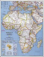
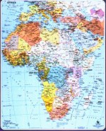 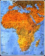 AFRICA |
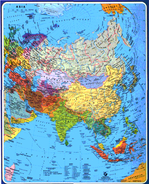 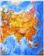 ASIA |
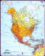 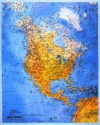 NORTH AMERICA |
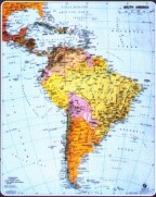 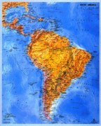 SOUTH AMERICA |
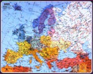 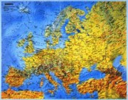
EUROPE |
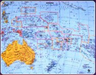 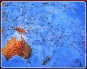 OCEANIA |