|
We are an
Atlanta, GA U.S.A. small business, you can call us and speak to a
live
person U.S.A. REGIONAL BUSINESS MAPS DETAILED U.S.A. REGIONS CITY COUNTY MAPS LARGE UNITED STATES MAP The most detailed USA wall map!
U.S.A.
COUNTY LINES Hardcopy WALL MAPS important tools for business
Download Maps on sale
40% off! |
NORTHEAST
ATLANTIC States Regional Maps
Digital Maps for download, high
resolution maps to print in a brochure or report, projector or digital
presentations, post on your website, projects, sales meetings. We can also
print, laminate, mount on foam board for pins, and frame to create a custom wall
map of your choice, compare our quality and pricing...
SCROLL DOWN and select any of the maps below to see detailed
images and more information on different styles and background colors
available for Northeast Region and more areas.
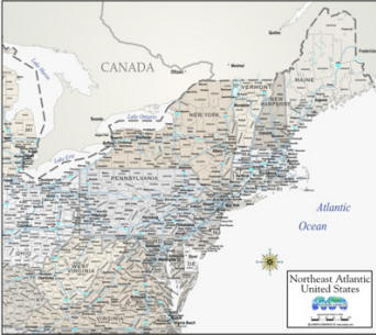
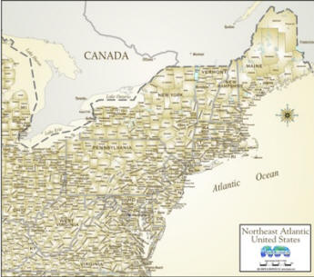 Northeast Atlantic antique style Counties/cities/highways |
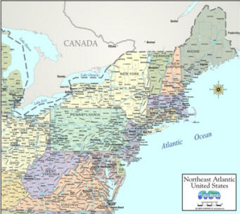 Northeast Atlantic color Counties, Cities and Highways |
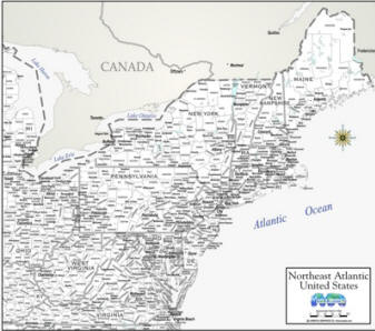
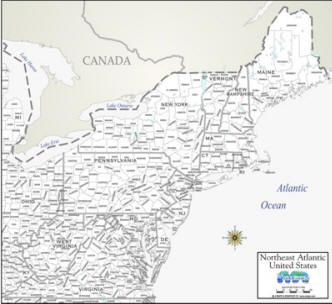 Northeast Atlantic States Map white with County outline |
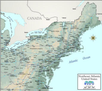 Topographic Map of Northeast Atlantic Cities & Interstate Highways |
 Cities, counties, highways Northeast Atlantic States Map "greige" |
 Northeast Atlantic States Map white cities and counties |
 Northeast Atlantic Region Map, white Cities and highways |
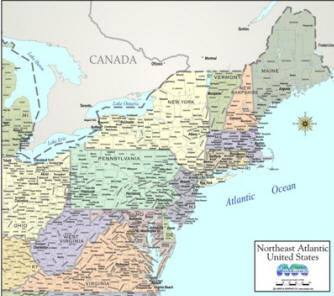 Northeast Atlantic County outlines cities COLOR by state |
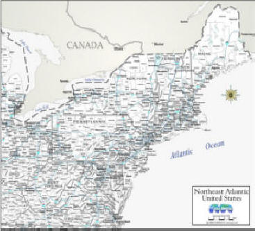
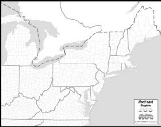 OUTLINE MAP OF Northeast States *FREE DIGITAL MAP* |
|
NFT-Notoriously Fabulous Topography - without minting or ETH gas fees ; )
BUNDLE - All
Northeast Atlantic maps above for the $ of 3... $59.85!
Hardcopy... back to download region maps main page WE ALSO HAVE MORE HIGHLY DETAILED, LARGE LAMINATED WALL MAPS OF U.S. SALES REGIONS and CAN CREATE A CUSTOM MAP TO COVER THE STATES FOR YOUR SPECIFIC REGION |