|
We are an
Atlanta, GA U.S.A. small business, you can call us and speak to a
live
person U.S.A. REGIONAL BUSINESS MAPS DETAILED U.S.A. REGIONS CITY COUNTY MAPS LARGE UNITED STATES MAP The most detailed USA wall map!
U.S.A.
COUNTY LINES Hardcopy WALL MAPS important tools for business
Download Maps on sale
40% off! |
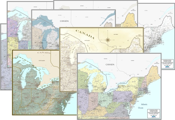
BUSINESS WALL MAPS
FOR REGIONS OF THE UNITED STATES
U.S. REGIONS - Maps for
Business- super detailed
for logistics,
marketing, sales management, laminated office wall map
Multi-State Districts such as
Southeast, Great Lakes,
Northeast,
Pacific Northwest, etc...
OR
Custom designed to cover your particular Region...
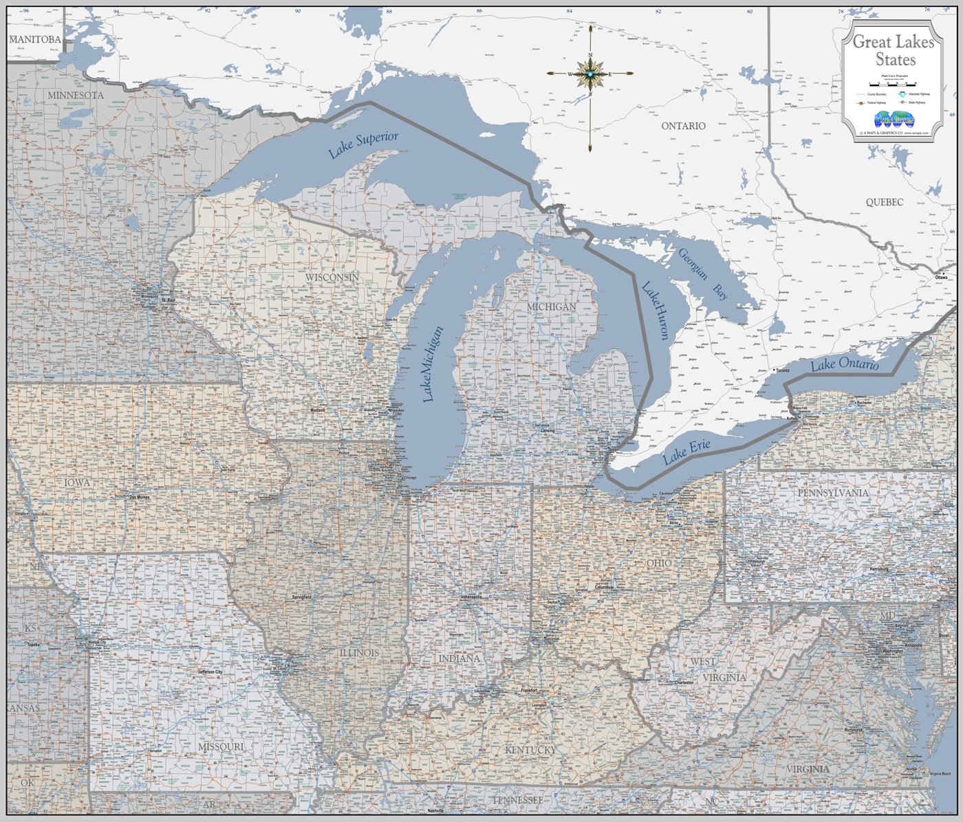
Larger laminated
Region Maps with higher detail level of detail including counties, cities,
more of the smaller towns, plus Interstate, Federal and state highways, water
features...
U.S. REGIONS - Maps for
Sales and Marketing county town
cleartype style office wall maps
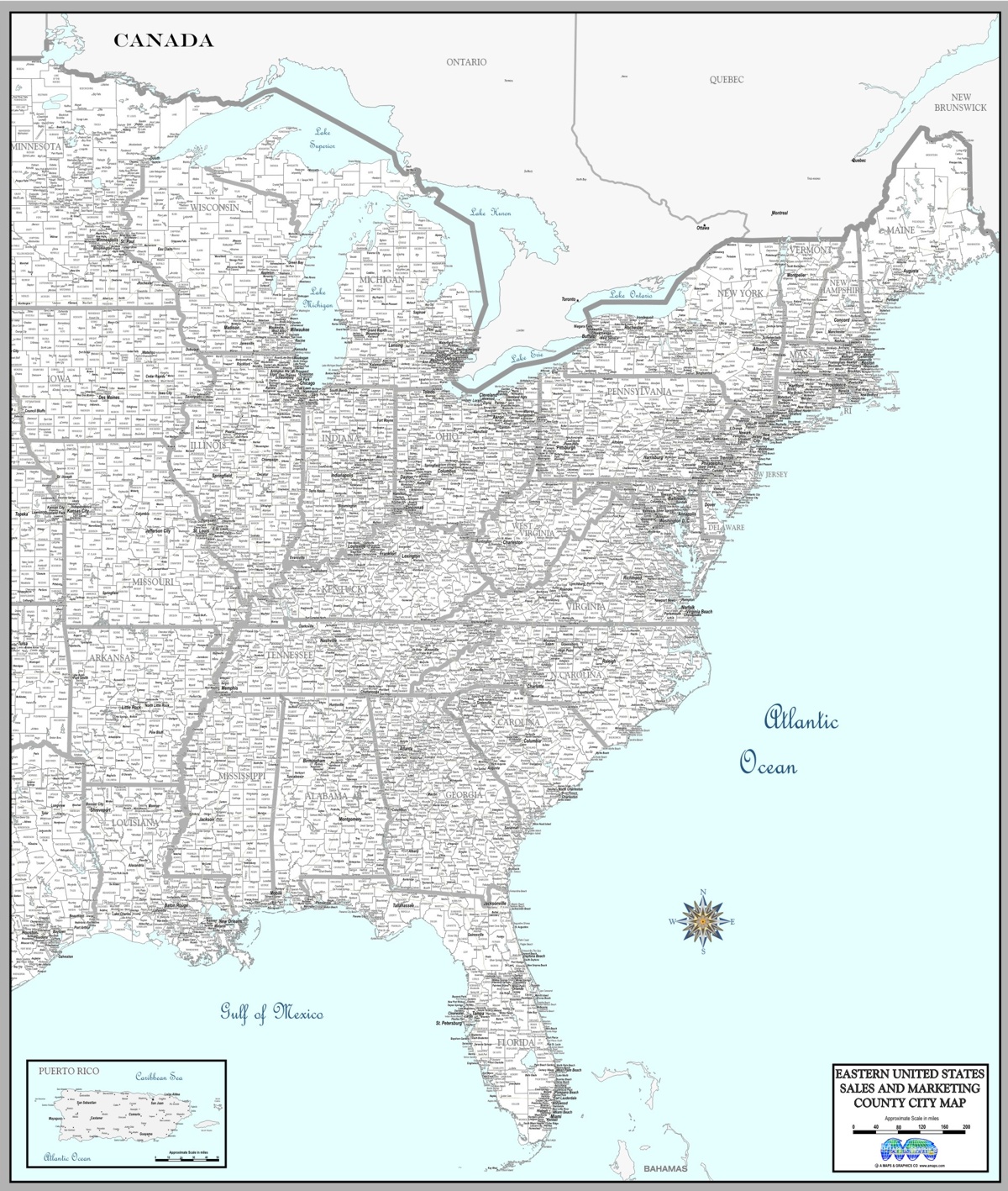
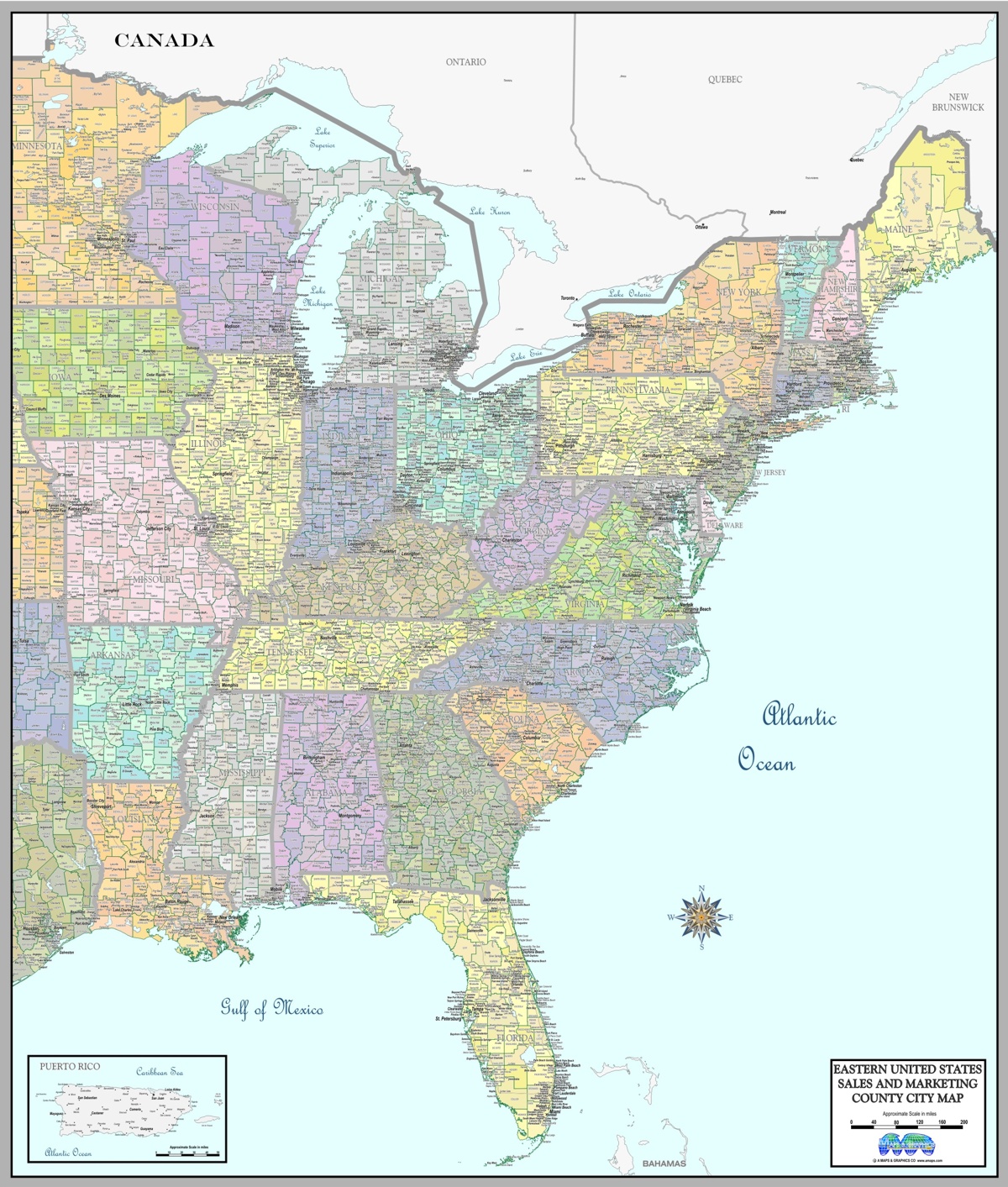
Clearly showing Counties, cities/towns, designed for Marketing,
Management and Sales territories,
to be easy to read without the extra clutter of highways.